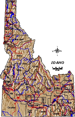

This is a map of Idaho created with 90 meter resolution DEM's and then separate coverages (or themes) consisting of county lines, major rivers, and major roads overlayed on to the DEM image. All these themes had to be put in a format that the computer can display.